Skye Hiking -  2011


Turn off A863 near Drynoch,
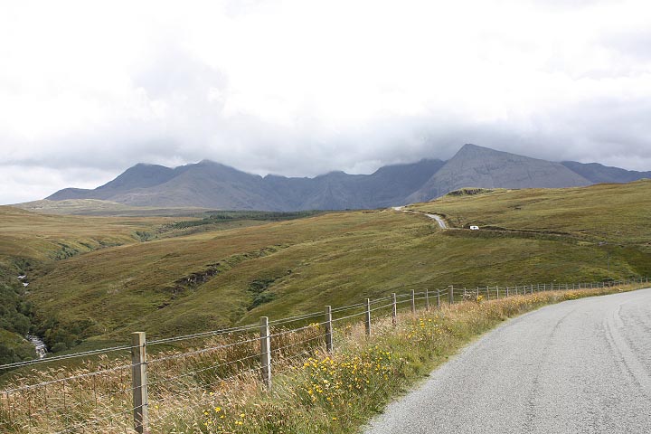
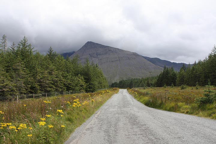
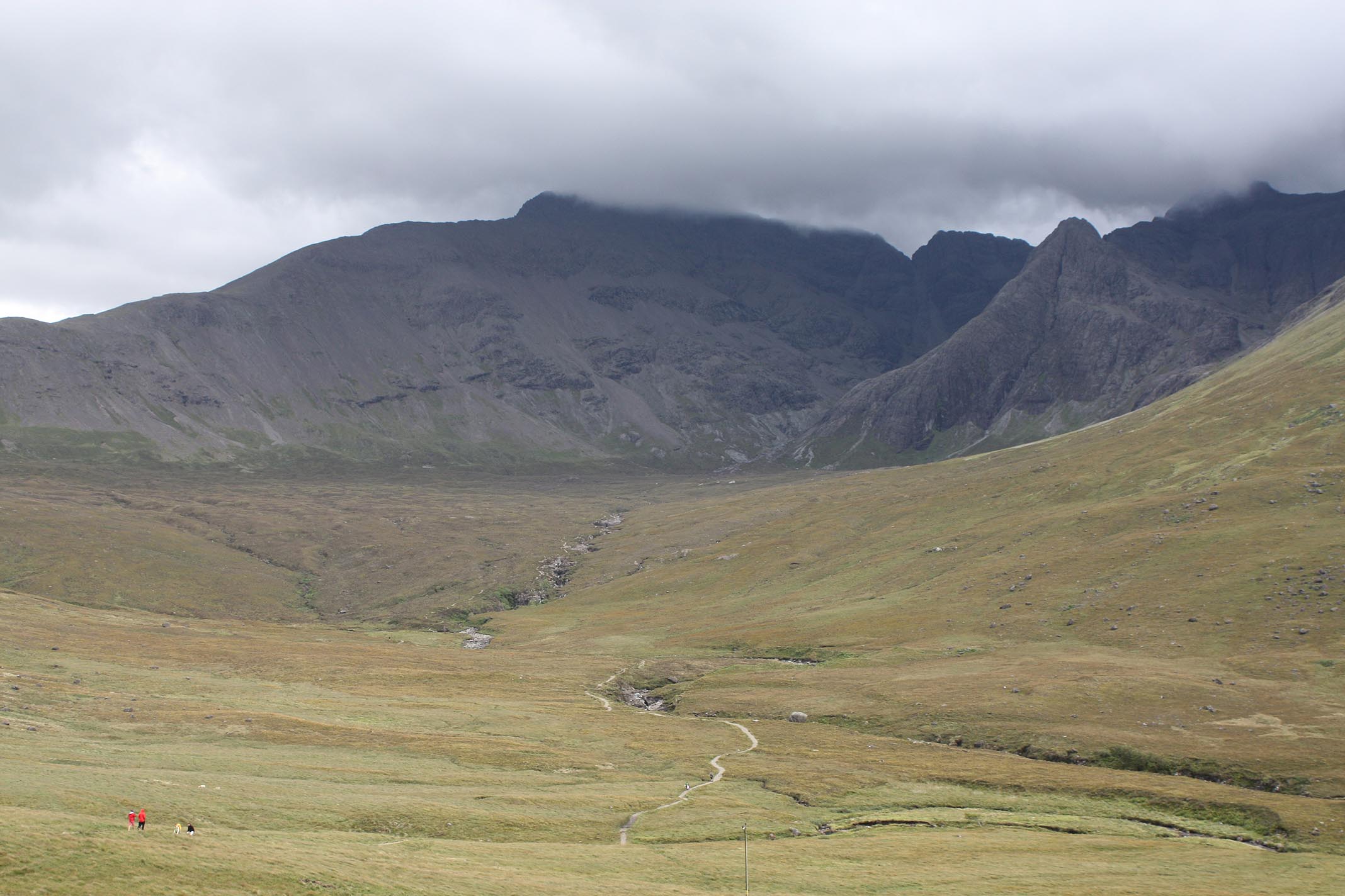
take road to Glenbrittle.


Coming down long steep hill.


Oh boy.... This is getting good....


Heart of the Black Cuillin.

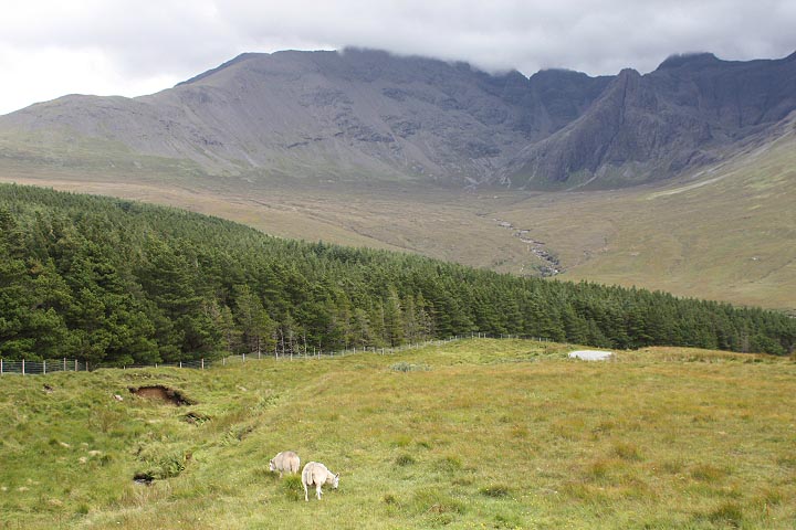
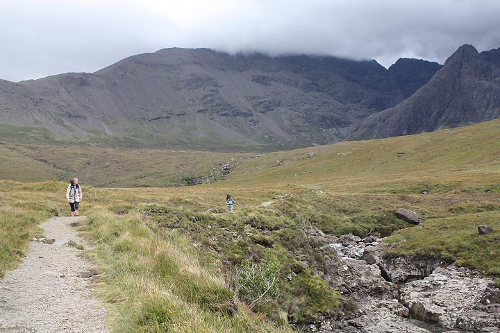
Sgurr an Fheadain straight ahead.


en.wikipedia.org/wiki/Cuillin

www.streetmap.co.uk
search: Cuillin (Place Name)
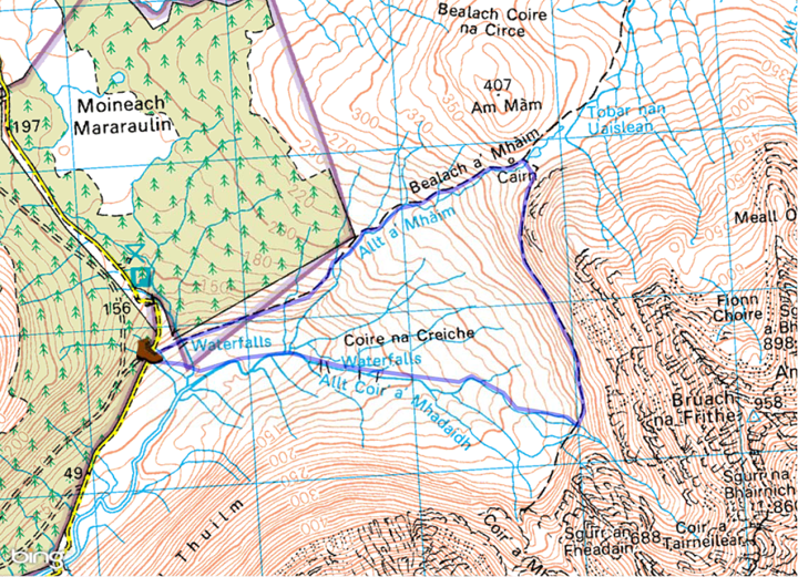


Quick, grab the hiking boots!

enlarge


Setting off on 8 km / 5-mile walk.


Coire na Creiche and Fairypools loop.

www.walkhighlands.co.uk/skye/fairypools.shtml


A couple clans "had it out" in this glen.

en.wikipedia.org/wiki/Battle_of_Coire_Na_Creiche


Looking back at car park.


Little trickles seen from the road
become huge gushing streams up close.


Following path to the base of those peaks.


copy/paste to Google Earth:

57° 15' 00.69" N, 6° 15' 23.88" W


People actually swimming here.
(isn't it too cold?)
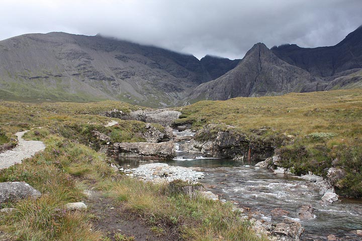
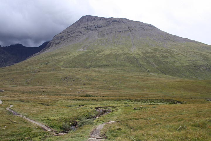

Getting beyond the crowd.

Sgurr an Fheadain:

www.flickr.com/photos/amblekingrat/4525634261


Tracking GPS position on Android:

www.backcountrynavigator.com

Displays GPS position on smartphone
with offline locally-stored maps.


Heavy wind and rain starting,
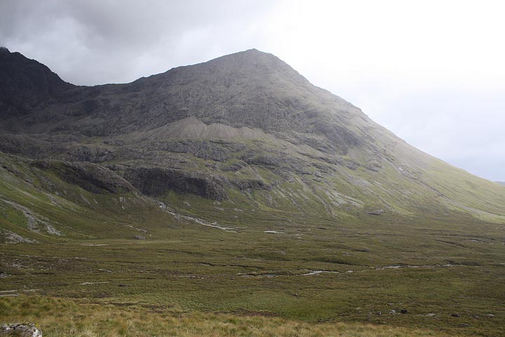
break out the raincoat.

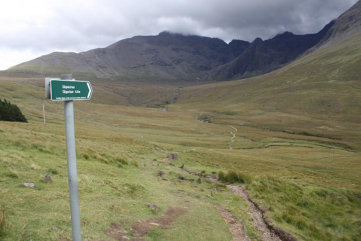
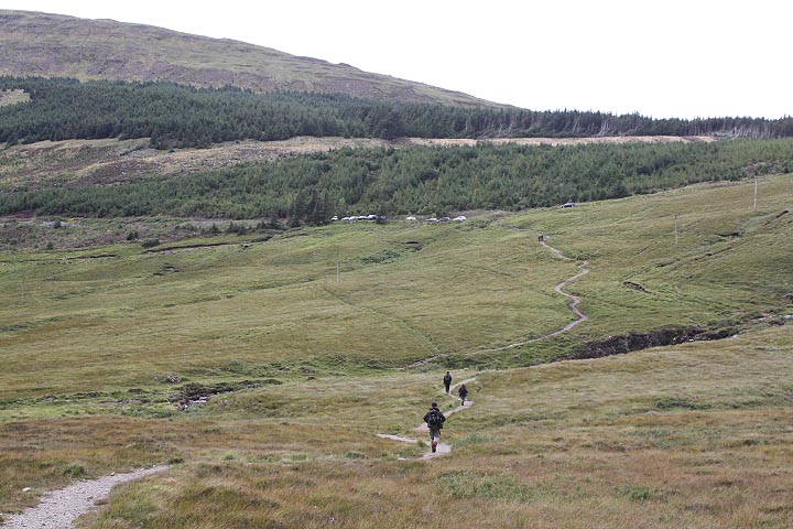
Car park at picture center.
Last picture today, keeping camera dry.

Up                                                                                                                << prev    next>>

Nat Hager III  -  2011 Sep 3